Log in
All resources
Create a design
Tools
10,854 Free Images of Historic Map
pages with maps
cc-zero
national register of historic places with known ids
architecture
city
gemeente atlas van nederland - south holland
1860s maps of south holland
images from wikipedia summer of monuments
unreviewed submissions from wikipedia summer of monuments
uploaded via campaign:wsm
gemeente atlas van nederland - south holland
1860s maps of south holland
self-published work
pages with maps
pages with maps
architecture
self-published work
city
eric (xii) of sweden (erik magnusson)
maps of the history of sweden
self-published work
roof
architecture
car
self-published work
architecture
gemeente atlas van nederland - south holland
1860s maps of south holland
maps by thomas kitchin
andrew dury
maps of the ottoman empire by mercator-hondius
eran laor cartographic collection
maps of paris from the david rumsey historical map collection
maps of paris by caspar merian
vehicle
city
architecture
city
gemeente atlas van nederland - north holland
old maps of beverwijk
maps of the history of palestine
1880s maps of palestine
maps of paris from the barry lawrence ruderman antique maps inc.
key sheet of the turgot map of paris
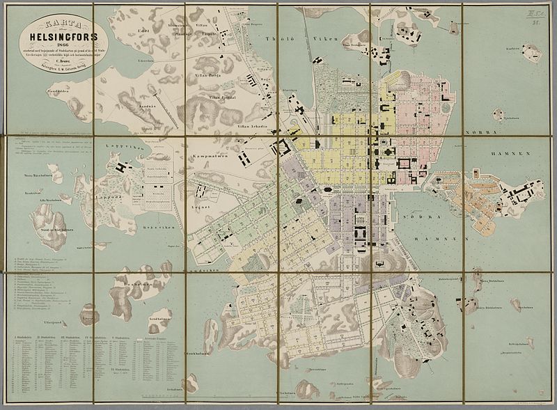
media from the national library of finland
classicism
atlas du canton de paris, 1795
plan de roussel
gemeente atlas van nederland - south holland
old maps of vlaardingen
gemeente atlas van nederland - south holland
1860s maps of south holland
gemeente atlas van nederland - south holland
1860s maps of south holland
gemeente atlas van nederland - south holland
1860s maps of south holland
gemeente atlas van nederland - south holland
1860s maps of south holland
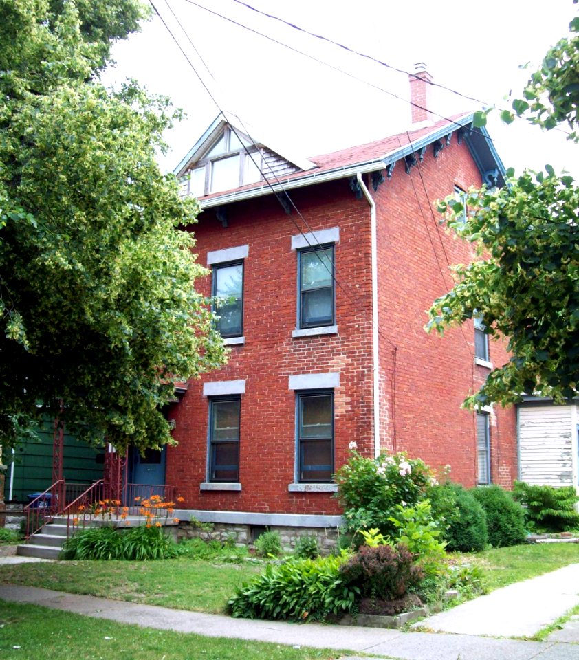
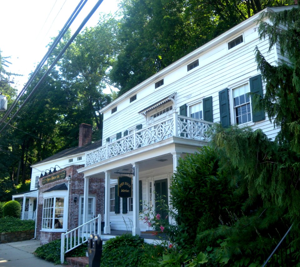
building
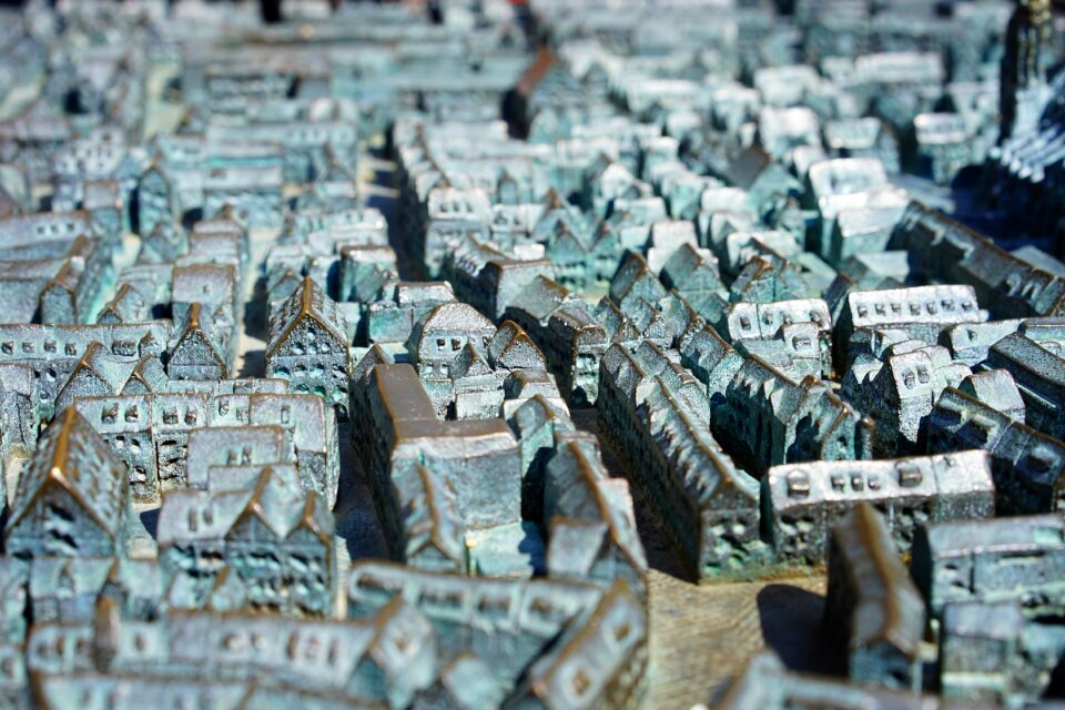
maps
building
maps
self-published work
pages with maps
self-published work
pages with maps
skyline
city
self-published work
pages with maps
skyline
water
self-published work
pages with maps
architecture
urban
traffic
city
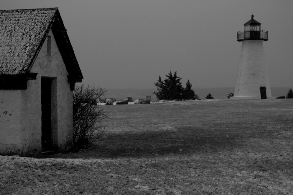
winter
snow
self-published work
pages with maps
interior decoration
self-published work
architecture
interior
self-published work
architecture
self-published work
architecture
self-published work
vehicle
self-published work
letter
sidewalk
lawn
self-published work
town
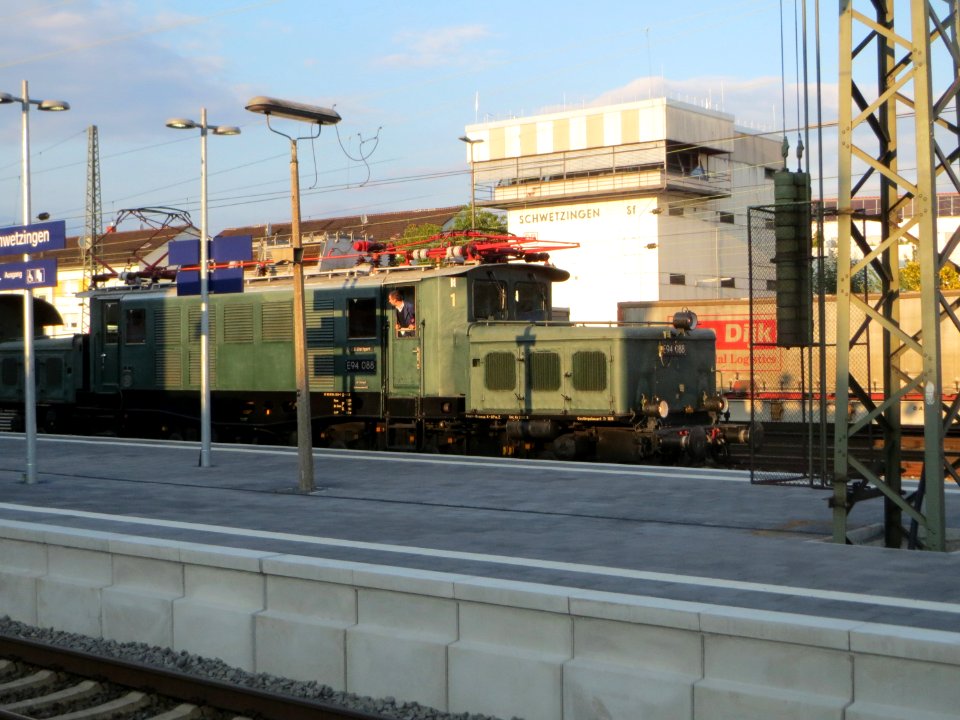
historic train
vehicle
ancienne église saint-hippolyte de paris
churches on turgot map of paris
sculpture
maps
self-published work
pages with maps
mack truck
city
architecture
field
self-published work
metal
architecture
roof
architecture
village
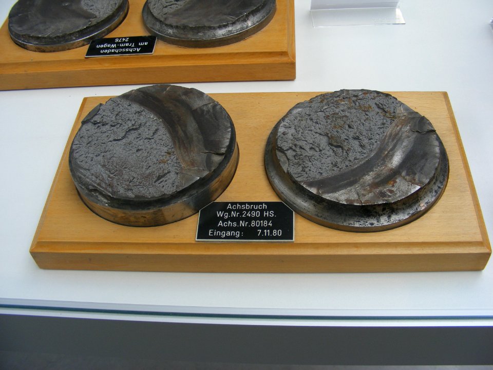
fracture surface
food
garden
roof
self-published work
architecture
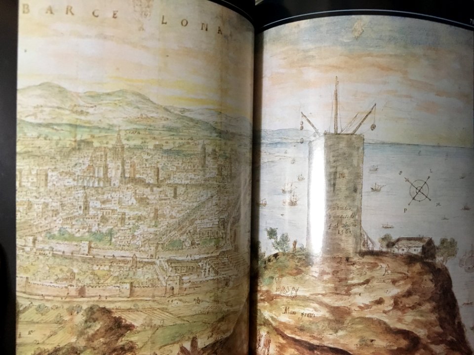
anthonis van den wijngaerde
castell de montjuïc
historic train
vehicle
self-published work
pages with maps
vehicle
car
2010 manhattan photos by jim.henderson
pages with maps
city
town
group
team
maps of paris from the barry lawrence ruderman antique maps inc.
plan de turgot
animals
cat
self-published work
pages with maps
pavement
lawn
self-published work
vehicle
self-published work
military
self-published work
architecture
self-published work
pages with maps
village
lawn
pages with maps
sidewalk
architecture
winter
gemeente atlas van nederland - south holland
1860s maps of south holland
gemeente atlas van nederland - north holland
old maps of haarlem
turgot map of paris, kyoto university library – derivative files
porte saint-antoine
maps of the umayyad caliphate (damascus)
old maps of the caliphate
maps of the ottoman empire by mercator-hondius
eran laor cartographic collection
maps of the ottoman empire by mercator-hondius
eran laor cartographic collection
self-published work
pages with maps
self-published work
architecture
self-published work
architecture
sidewalk
city
self-published work
pages with maps
self-published work
architecture
architecture
town
gemeente atlas van nederland - south holland
1860s maps of south holland
gemeente atlas van nederland - north holland
amsterdam in the 1860s
gemeente atlas van nederland - north holland
19th-century maps of amsterdam
building structure
architecture
self-published work
architecture
architecture
village
topographia westphaliae (merian)
baroque
historisk atlas (stockholm, norstedt & söner, 1880)
maps showing 843
maps of the history of sweden
1386 in sweden
topographia westphaliae (merian)
baroque
maps of the ottoman empire by mercator-hondius
eran laor cartographic collection
old maps of north holland
old maps of kennemerland
maps of paris from the david rumsey historical map collection
atlas du canton de paris, 1795
4501 - 4600 of 10,854
Next page
/ 109